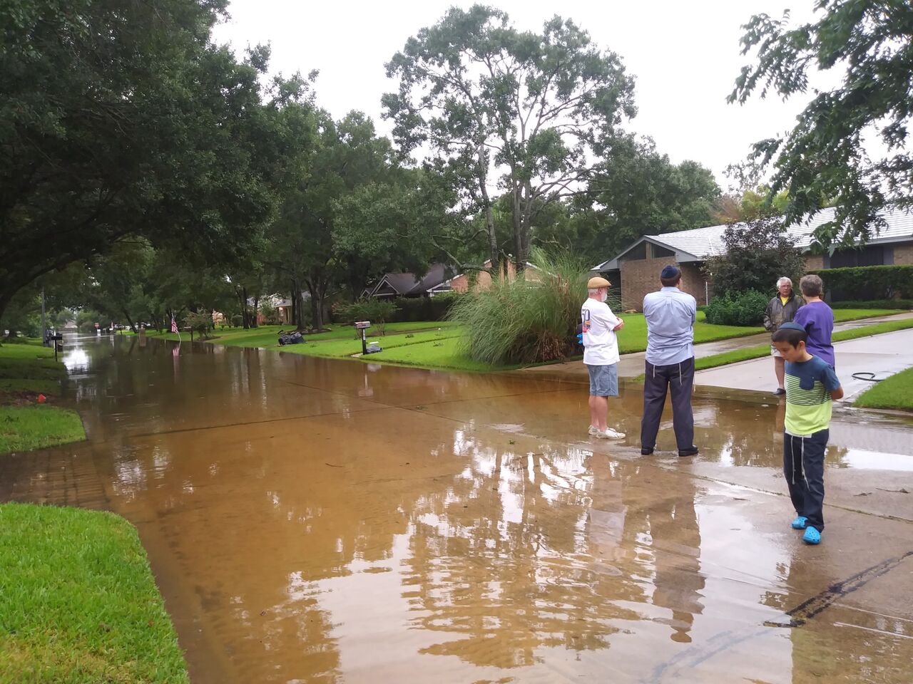
Hurricane Polo will not hit Texas, but its moisture could bring flash flooding to League City as early as Tuesday, Sept. 29.
Polo, a Category 5 hurricane with 180-mph winds off Mexico's Pacific coast, is the driving force behind a wet pattern heading for Southeast Texas next week. FOX 26 Houston reported that a cold front, described as the season's first real fall front, will arrive in Texas by Tuesday. That front will combine with high pressure and Polo's tropical moisture to fuel showers and thunderstorms statewide.
The National Weather Service forecast for League City shows rain chances developing Tuesday afternoon, a slight chance of thunderstorms Tuesday night and showers likely on Wednesday, Sept. 30. The NWS Houston/Galveston office said rain chances will ramp up toward midweek as tropical moisture increases.
For the Houston and Southeast Texas area specifically, KHOU 11 reported that Thursday, Oct. 1, and Friday, Oct. 2, appear to be the days to watch for heavier rain. Some forecast models show several inches of rain across portions of Texas, with locally higher totals possible near Southeast Texas.
DTN meteorologist John Baranick warned in a Sept. 25 analysis that "flash flooding will be a significant risk, especially if the heavy rain falls over areas that have already seen a lot of rain over the last two weeks."
Polo's remnants are forecast to cross the Baja California Peninsula on Monday, Sept. 28, then push northeast into the Southern Plains by Tuesday night and Wednesday, according to DTN. Baranick projected 2 to 4 inches of rain across a swath from Texas to Kansas, with embedded thunderstorms potentially producing higher totals.
Where League City floods
League City's flood zones follow Clear Creek to the north, Galveston Bay to the east, Benson Bayou and Geisler Bayou to the south-central area, and Dickinson Bayou to the southwest, according to city flood maps. The city spans 55 square miles with numerous secondary watersheds. Properties along FM 518 often face street flooding, and homes near Clear Creek can see backflow during major storms.
More than 80 percent of Texas is in some form of drought, with more than half in at least severe drought, according to the U.S. Drought Monitor. Dry, hardened ground can increase runoff and worsen flash flooding when heavy rain arrives quickly.
No city advisory issued
League City's Office of Emergency Management, led by coordinator Ryan Edghill, had not issued a Polo-specific advisory as of Saturday, Sept. 26. During emergencies, the office posts updates to the city's website and social media channels. Residents can sign up for emergency notifications at leaguecitytx.gov.
No NWS flash flood watch or warning for Galveston County had been issued as of Saturday.
Forecasts should sharpen by Monday, Sept. 28, as Polo crosses the Baja Peninsula. Residents near flood-prone areas should monitor the NWS Houston/Galveston office at weather.gov/hgx for updates.