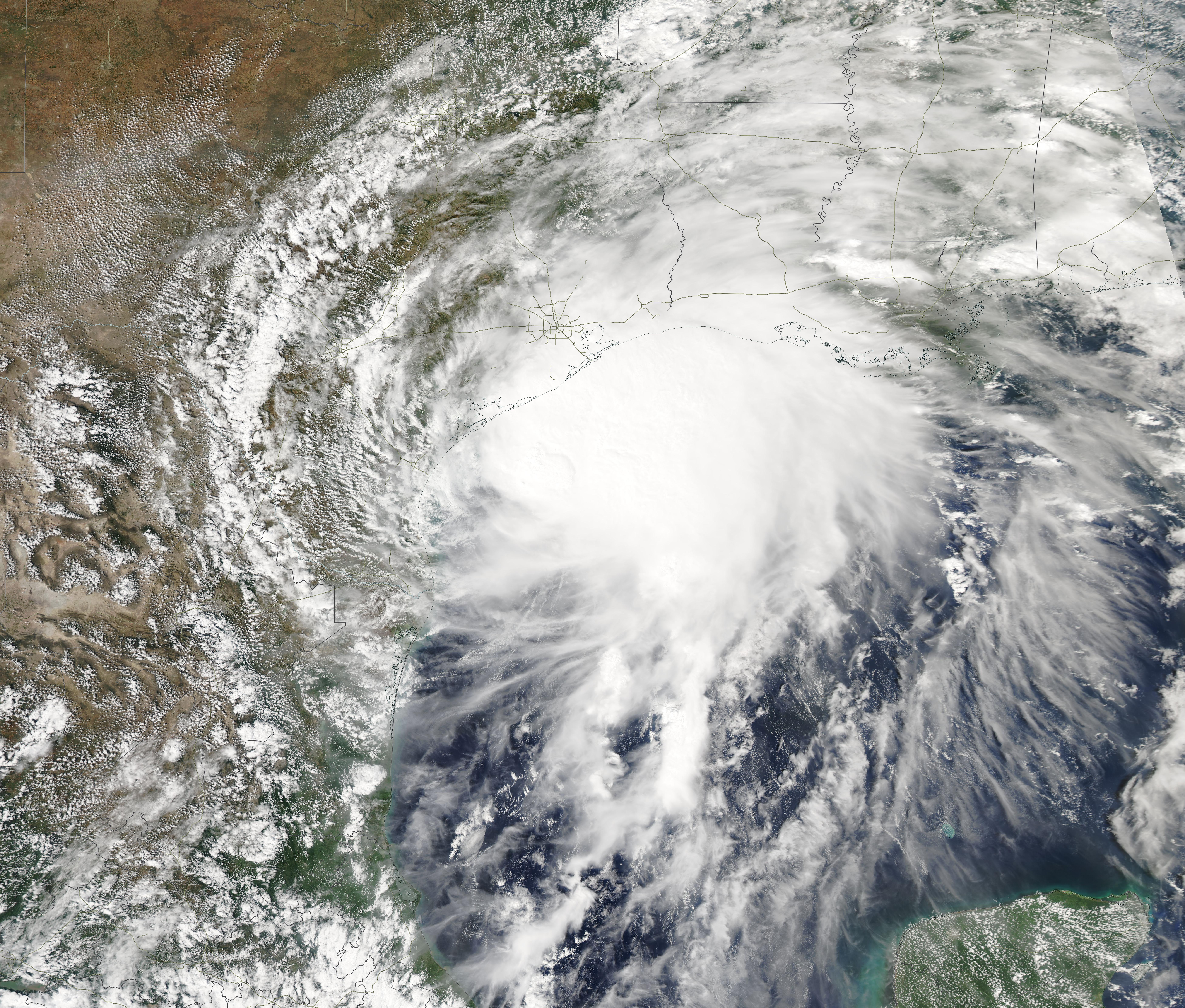
A Gulf of Mexico disturbance now has a 50% chance of becoming a tropical depression within seven days, the National Hurricane Center said Monday, Oct. 5.
The system could affect League City, Galveston County and the upper Texas coast by late in the week. The NHC's outlook described a surface trough of low pressure along the coast of Mexico in the southwestern Gulf. The agency gave the system a 10% chance of forming within 48 hours and a 50% chance over seven days. That seven-day figure is up from the 40% the center posted Sunday, Oct. 4.
The NHC said environmental conditions are "only marginally conducive" but that gradual development is possible. The agency expects the system to drift eastward initially before turning northward, with a tropical depression potentially forming by the second half of the week.
For League City, the near-term forecast brings relief. A frontal boundary moved offshore early Monday, halting rain chances until Thursday, KGTX 7 meteorologist Dominic Dragon reported. Highs should settle in the mid-80s most of the week, with overnight lows in the low-to-mid 70s inland and high 70s near the coast.
Rain and storm chances return Thursday through Saturday, with coastal areas most likely to see precipitation, according to Dragon's forecast.
Dragon said in his Sunday, Oct. 4 forecast that the system "puts Galveston County and the upper Texas coast in a position worth watching as we head through the week."
Still, most forecasters see the greater threat east of Texas. KHOU 11 reported that computer models increasingly show any organized system moving toward the northern or northeastern Gulf Coast, with the greatest potential for impacts from Louisiana eastward toward Florida. The station said tropical impacts are not expected in Southeast Texas at this point.
Weather analyst Matt Lanza of The Eyewall newsletter assessed Sunday that a track north or northeast seems reasonable, putting Louisiana through Florida on notice. He described a heavy rain event for the Gulf Coast and Florida as the most confident outcome. Lanza also noted that Gulf of Mexico sea surface temperatures are at record levels for early October.
Dr. Ryan Maue of Weather Trader outlined two scenarios Sunday: the system forms in the Bay of Campeche and drifts into Mexico, or a trough picks up the low pressure and accelerates it into the Gulf Coast from Louisiana to Florida. Strong wind shear remains the main obstacle to development.
The 2026 Atlantic hurricane season has produced eight named storms through September, two fewer than the 1991–2020 average, and none has become a hurricane, the Houston Chronicle reported. Only 10 named storms have made landfall in Texas after Oct. 1, and none after mid-October.
Galveston County Office of Emergency Management Director Jesse Ryholt urged preparedness in May, when the county launched its pre-season billboard campaign. "It really only takes one storm to come through and really do some damage," Ryholt told Houston Public Media at the time.
If the system does develop, the next Atlantic tropical storm name would be Isaias. Residents can monitor updates at the NHC's Atlantic outlook page and sign up for Galveston County emergency alerts at gcoem.org.