A tropical depression formed in the Gulf of Mexico on Monday, Aug. 31, and the National Hurricane Center issued a Tropical Storm Warning that covers the League City area. Forecasters expect the system to strengthen into a tropical storm and push heavy rain into the region by Tuesday.
The NHC's 1 p.m. CDT advisory designated the system as Tropical Depression Five, located about 230 miles southeast of Port Arthur, Texas. It carried maximum sustained winds of 35 mph and was moving west-northwest at 5 mph. If it strengthens into a named storm, it would be called Tropical Storm Edouard.
The Tropical Storm Warning stretches from Port Bolivar, Texas, to the Vermilion/Cameron Parish line in Louisiana. That warning means tropical storm conditions are expected within 24 to 36 hours.
The NHC forecast the center to reach the northwestern Gulf Coast within the warning area on Tuesday, Sept. 1.
Flood watch covers League City
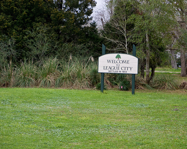
The National Weather Service issued a Flood Watch from 1 a.m. Tuesday through 7 a.m. Wednesday for portions of southeast Texas, including Inland Galveston County. That NWS zone covers League City.
FOX 26 Houston reported the system is expected to make landfall near Galveston on Tuesday, bringing heavy downpours that could cause street flooding near and east of Houston.
The NHC forecast 3 to 6 inches of rain for parts of the Upper Texas Coast, with up to 9 inches possible in some locations. The Houston Chronicle reported that downpours falling at 2 to 4 inches per hour could overwhelm streets and drainage systems where the heaviest bands stall. Tropical storm-force gusts of 40 to 50 mph could affect the eastern Upper Texas Gulf Coast and Chambers County from late Tuesday morning through Tuesday evening, the Chronicle reported.
Storm surge of 1 to 3 feet above ground level is forecast from High Island, Texas, to the Vermilion/Iberia Parish line in Louisiana, according to the NHC. Widespread coastal flooding is not expected, but elevated waves could affect areas near where the center moves ashore.
CenterPoint activates emergency center
CenterPoint Energy activated its Emergency Operations Center on Monday ahead of the storm's potential impacts Tuesday and Wednesday. Jason Fabre of CenterPoint said the company is "closely monitoring the weather models as conditions continue to evolve" and urged customers to stay alert. CenterPoint said it is moving crews into place for possible gas and power restoration.
How to prepare
The NHC stated that tropical storm conditions will make outside preparations "difficult or dangerous" once they arrive Tuesday. The NWS warns that six inches of water can knock down an adult and two feet of moving water can sweep away vehicles.
No statement from League City's Office of Emergency Management or the Galveston County Office of Emergency Management appeared in public records as of Monday afternoon.
Residents can track the latest forecasts at the NWS Houston-Galveston office. The NHC's next complete advisory was scheduled for 4 p.m. CDT Monday, Aug. 31.